
Gamlemsveten ligger i Haram Kommune og er 791 moh.// Mt Gamlemsveten is a mountain in Haram muncipality. It rises 2591 ft above sea level.

Turen starten fra Søvika, god skilting til parkeringsplass. // The hike started from a little village called Søvika.
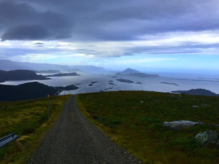
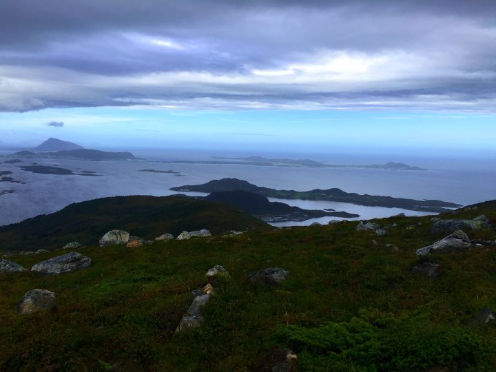
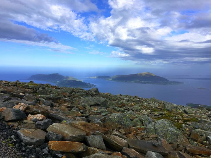
Det er grusvei hele veien til toppen, ca 5 km opp. I klart vær ser man Ålesund, Sula, Godøya,Valderøya og mer. //There is a gravel road leading all the way up to the summit, about 5 kilometers one way. In good weather you´ll see Ålesund, Sula, Godøya and Valderøya amongst other places.
I området finnes det flere turmuligheter, langs grusveien kan man ta av til for eksempel Tverrbotnhornet eller Søvikhornet. //There are several hiking options in the area, from the gravel road you can choose trails to Mt Tverrbotnhornet and Mt Søvikhornet for example.
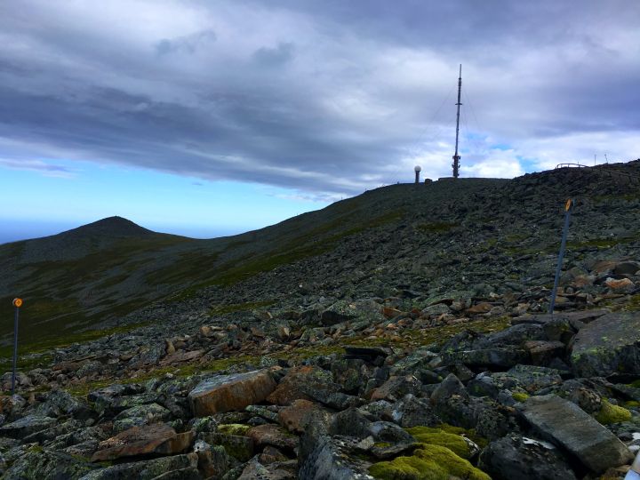
Nesten oppe, på toppen står en TV og radio mast som er 152 meter høy. //Almost at the summit. There is a television and radio mast which is 152 meters tall.
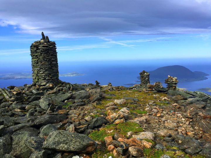
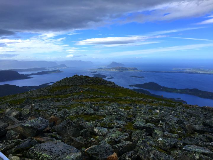
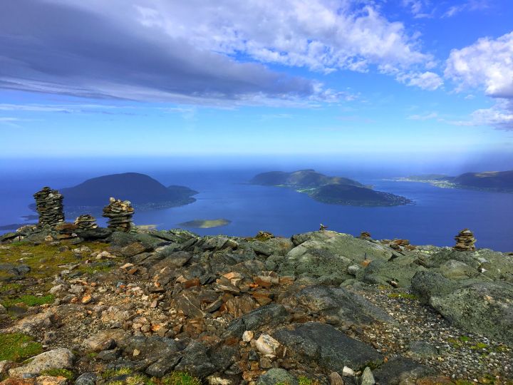
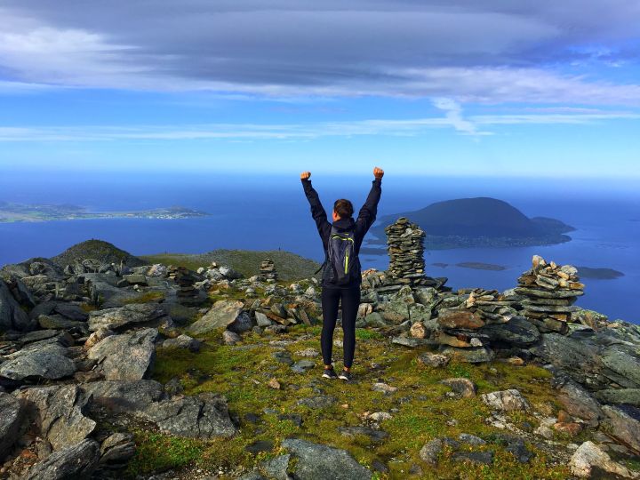
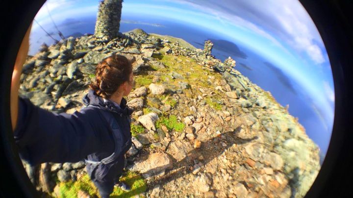
Mange flotte varder på toppen. //Plenty of cairns at the summit.
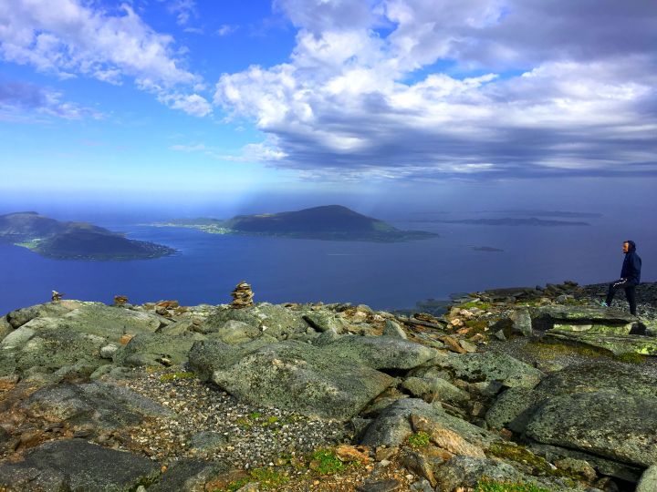
Min far nyter utsikten mot Nordøyane. //My father enjoys the view towards the islands “Nordøyane” (The northern islands).
Turen opp og ned igjen tar omtrent 2 timer. //The roundtrip from the parking and to the summit takes about 2 hours.
Pictures taken 10th september 2016.
