
Siste del av turen vår på Laugavegurinn gikk fra Emstrur til Þórsmörk og var ca 15 km. // The last part of our hike on the Laugavegurinn trail went from Emstrur to Þórsmörk and was about 15 km in length.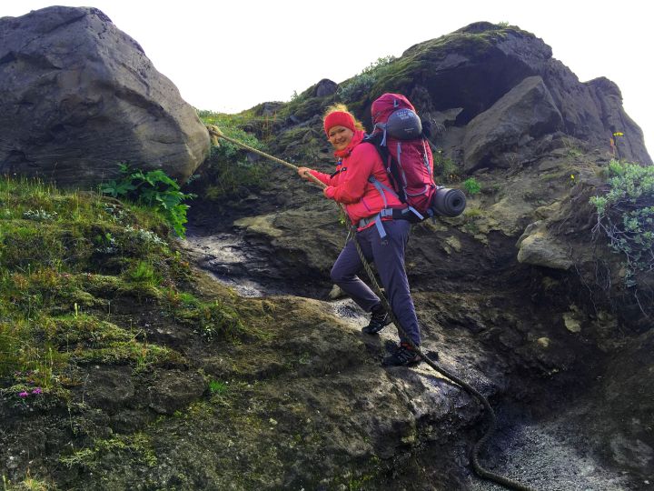
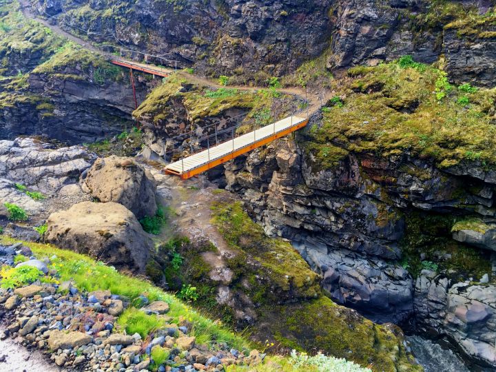
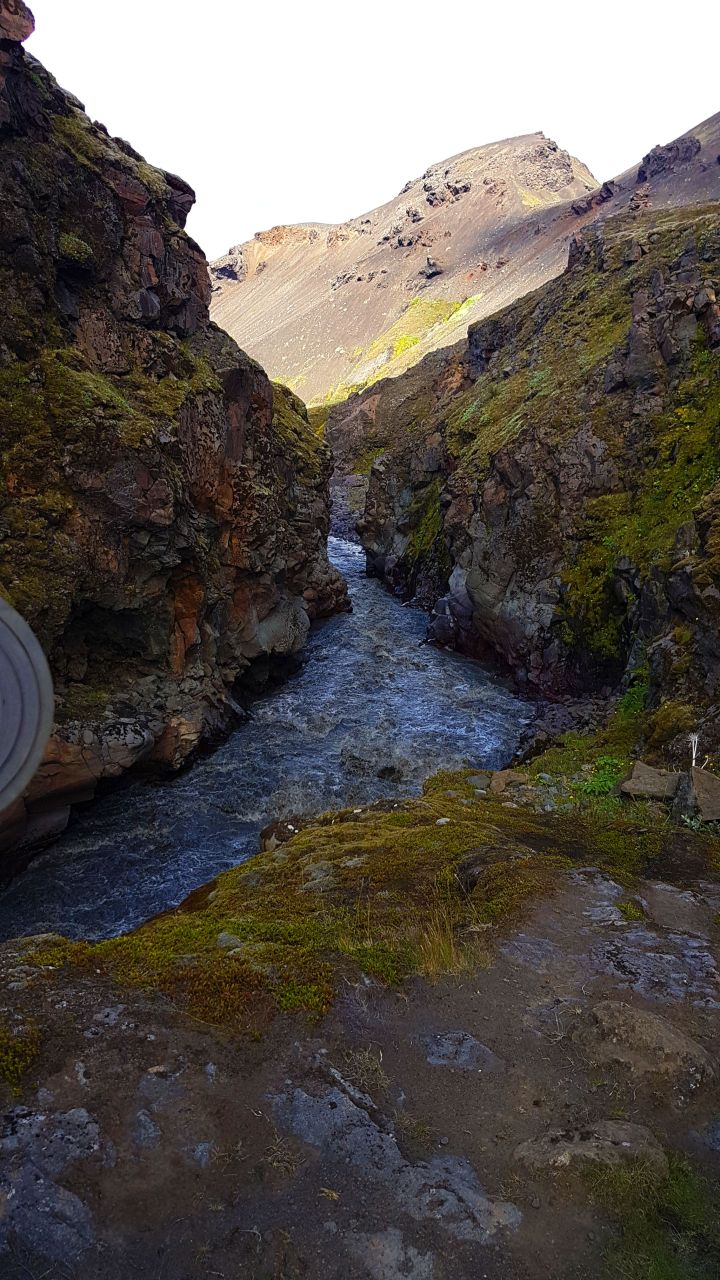
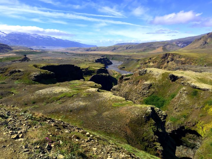
Vi starter dagen med å gå i dalen “Syðri – Emstruá” og deretter bratt nedover. Her er det tau man kan bruke som støtte og man krysser elven over noen broer. // We started the day walking around the canyon in “Syðri – Emstruá” and down a very steep path with ropes as support leading to some bridges.
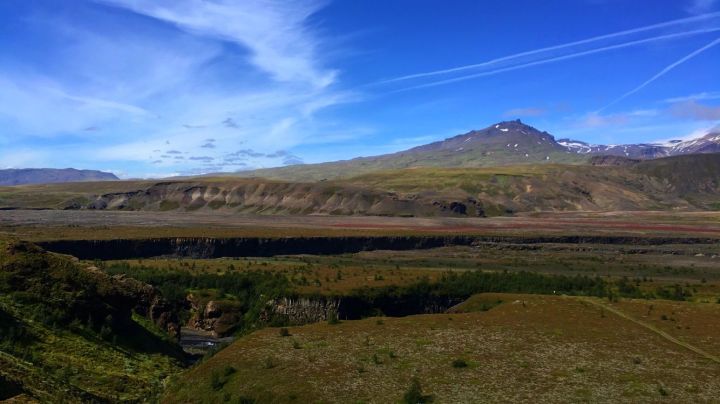
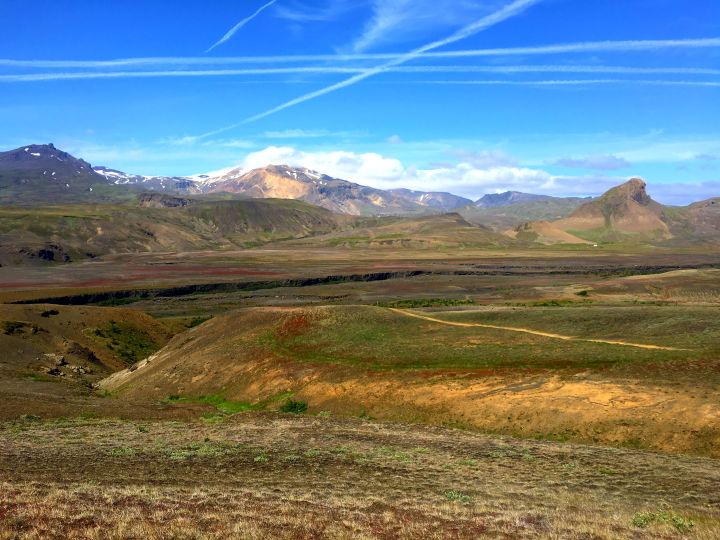
Videre gikk stien oppover igjen, og inn i området som kalles for “Almenningar” // From there, the trail went upwards again to the area called “Almenningar”.
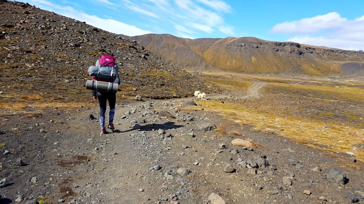
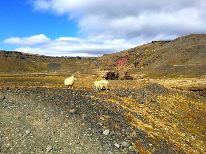
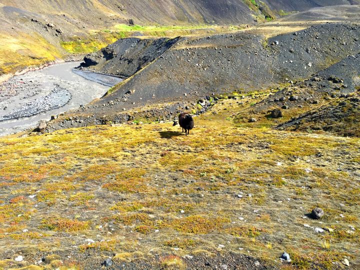
Her møtte vi noen lokale (sauer) // At “allmenningar” we ran into some locals (the sheep).
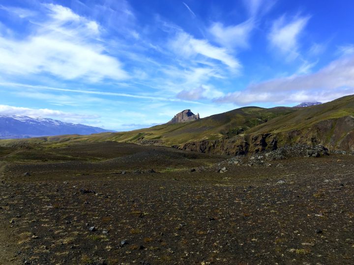
Et artig fjell kom til syne. Vi syntes det så ut som det hadde horn på hver side. // An odd looking mountain, we thought it looked like it had horns on each side.
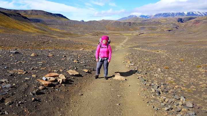
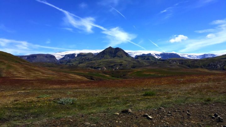
Nå begynner landskapet å bli grønnere, og vi er ferdige med “ørkenen”. // The landscape is starting to change into the greener, looks like we are done with the “desert”.
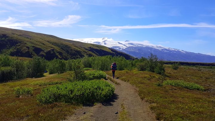
Isbreen Mýrdalsjökull rett frem, det er den fjerde største isbreen på Island. Under den ligger vulkanen Katla, som sist hadde utbrudd i 1918. // The glacier Mýrdalsjökull straight ahead, the 4th largest glacier in Iceland. Underneath it you find the volcano Katla, which last erupted in 1918.
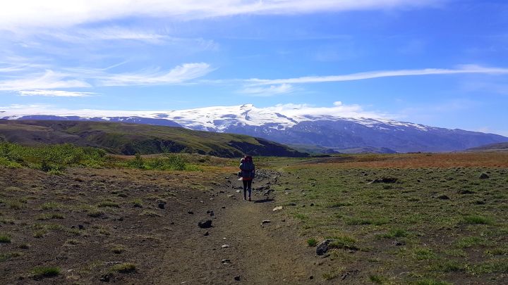
Der fremme ser vi nesten mållinjen // Over the hill in front of us and then we should be close to the finish line..
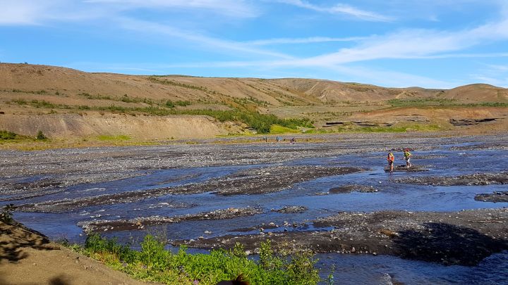
Men først må vi krysse elven “Þröngá”, heldivis er ikke denne like dyp som den forrige. // But first we have to cross the river “Þröngá”, but luckily this one is not as deep as the last one.
Vi kom oss over helt fint, og nå gjenstår bare rundt 30 minutter gjennom “skogen” før vi er fremme i Husadalur. //
We made it over just fine and from there it was a 30 minute walk through a forest before we arrived at Husadalur.
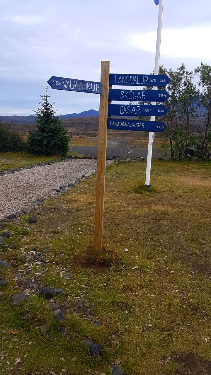
55 km gjennomført på 3 fantastiske dager langs Laugavegur! Vi sov i telt her og tok bussen klokken 8 neste morgen tilbake til Reykjavik. // 55 km done, and we had finished the Laugavegur trail in 3 days. We slept here in our tent and caught a bus the next morning at 8 am back to Reykjavik.
